The old axiom “traveling is better than arriving” is partially fulfilled on the way to Playa de Benijo. Going through the Anaga massif towards the beach along its winding road is an activity almost as attractive as enjoying the sand, waves and sun.
How to get to Playa de Benijo by car
Without a doubt, the fastest option to get to Playa de Benijo is by car. You can choose two routes, the first, the shortest, just 45 minutes, part of the capital, Santa Cruz de Tenerife, from there you will have to go to the town of San Andres, by the TF11 (Autovía de San Andrés, direction Playa de las Teresitas), at the first roundabout, just at the entrance of the town, take the detour onto the TF12 towards Taganana.
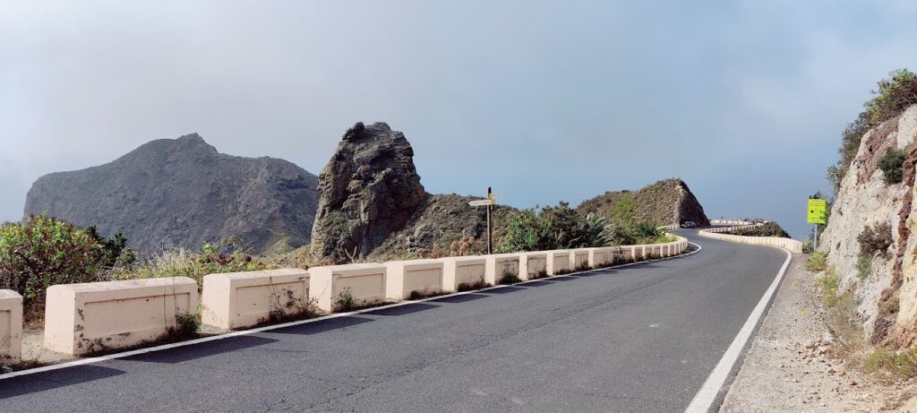
The TF12 is a road with a good firm surface and two lanes, one in each direction, the guardrails made up mostly of robust concrete battlements that surround the entire road and provide it with a lot of safety. The road goes up the slope of the Las Huertas ravine for a few kilometers to gradually enter the Macizo de Anaga, where the road becomes even more winding and from which you can see breathtaking landscapes. After kilometer point 9 of the TF12, there is the detour to Taganana / Benijo along the TF134 road, which after leaving behind the tunnel that crosses the summit of El Bailadero begins the descent down the northern slope of the Anaga Massif. In this section there are some viewpoints with impressive views of the north coast, you can also enjoy a curious rock formation that from a specific angle resembles an impressive lion (El león de Anaga).
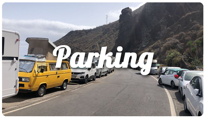
The road continues its descent through some hamlets until it begins to run parallel to the coast, the road will leave behind the Roque de Las Bodegas and Almáciga beaches and begin a brief ascent to Benijo, there is a meager parking lot that is usually full and it will be time to find a place to leave the vehicle.
The second option to get to Playa de Benijo is from the municipality of San Cristobal de La Laguna, the duration of this journey is just over an hour. Departing from the municipality of Los Adelazados, you should take the TF12 road towards Monte de Las Mercedes, on the way you cross the Vega Lagunera until the asphalt enters a scrub formation typical of Macaronesia called Laurisilva Canaria, a dense and evergreen humid subtropical forest, fed by the constant trade wind that plagues this slope, a true spectacle from the Quaternary.
The road leads to Cruz del Carmen, from there it runs along the summit until after kilometer 10 there is the detour to Taganana / Benijo along the TF134 road, which also meets the first route described above from Santa Cruz.
How to get to Playa de Benijo by bus
Another option, perhaps more comfortable, both in that it avoids the search for parking and allows you to enjoy the landscape without having to be attentive to driving, is the bus or guagua, as this means of transport is called in the islands. The journey to the stop closest to the beach takes about an hour, to which you have to add an additional thirty minutes of walking to the sand on the beach.
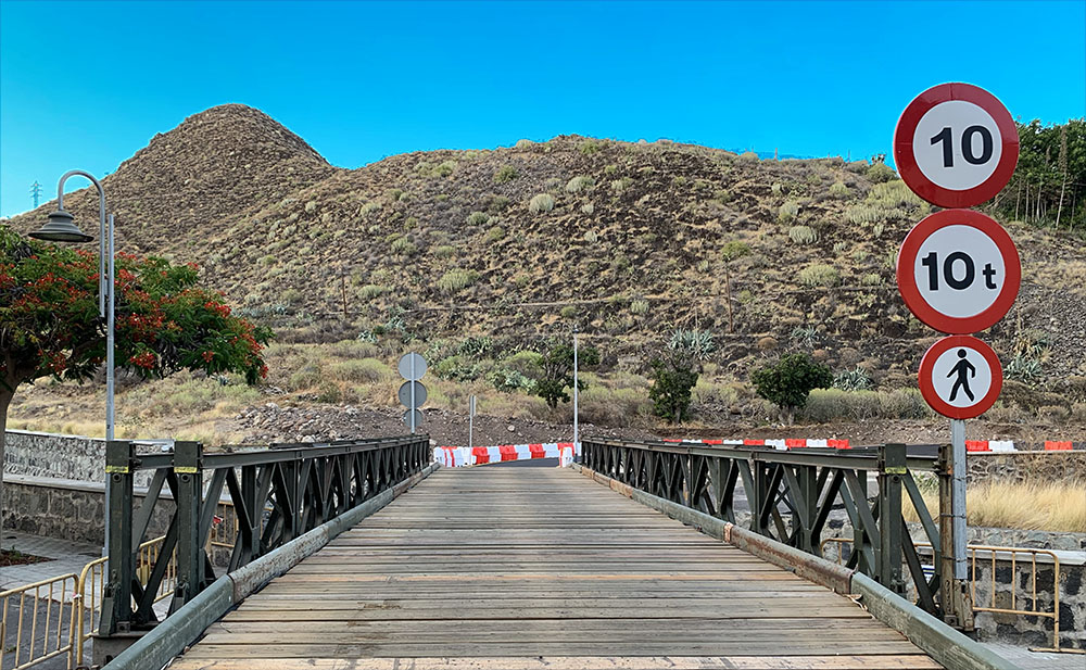
Bus 946 leaves from the Santa Cruz Transport Interchange to Almáciga, it runs along the San Andrés TF11 highway to the bridge that crosses the Cercado ravine, there you have to get off, cross the bridge on foot and get on a new bus which, now, will take us without interruption to the vicinity of the beach. This anomaly is due to the recent installation by the Army of a temporary bridge, impassable by buses, which temporarily replaces the deteriorated San Andrés bridge.
The route, as in the route by car, runs along the TF12 and the TF134, but the difference lies in the views over the ravines and massifs offered by this means of transport in which travelers move on a plane more elevated and in each curve gives the sensation of going flying.
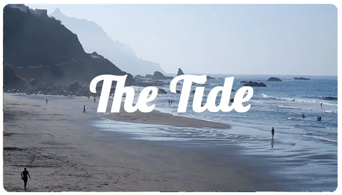
At the penultimate stop, the Almáciga junction, you have to get off the bus. From there it is necessary to walk about 15 minutes along the road to the end of the beach of Almáciaga, at this point, depending on the tide and the ability of the hiker to walk on stones, we will be able, at low tide, to avoid the scree of the coast and walk along the coast to Playa de Benijo. On the other hand, the second option (the recommended one), easier but longer, is to continue walking along the TF124 road until you find the access path to Benijo beach next to the El Mirador restaurant.
About playadebenijo.es
This web space collects information of interest about these emblematic beaches on the island of Tenerife that serves as a guide for visitors and curious people. The information collected here is not of any contractual nature, is not official and may contain inaccuracies.
Usamos cookies para asegurar que te damos la mejor experiencia en nuestra web. Si continúas usando este sitio, asumiremos que estás de acuerdo con ello.